Where Culebra Starts: Taino Ground, Spanish Light
Culebra sits 17 miles northeast of mainland Puerto Rico, 12 miles west of St Thomas and 9 miles northeast of Vieques, a municipality of about 11.6 square miles whose main island measures roughly 7 by 5 miles. The Taino presence here is documented in the exhibits at the Culebra Historical Museum, El Polvorin, alongside material on sea turtles and the island's natural history. Spanish rule left one structure that still marks the skyline from shore: the lighthouse on Isla Culebrita, about 5 miles off Culebra, which is the only man-made building on that cay and is closed to the public because of its damaged condition. For most of the written record this was a small outpost reached only by sea.
The U.S. Navy took over land on Culebra in 1902 and established the Culebra Naval Reservation in 1903. Six years later the island gained a second and very different designation: Executive Order 1042, signed on 27 February 1909 under Theodore Roosevelt, created Culebra National Wildlife Refuge and made it the first site in the Caribbean set aside as a federal wildlife reserve for native birds. Those two decisions, one military and one conservationist, shaped everything that followed. Dewey, the island's only town, grew around the harbour that still receives the ferry from the mainland, and the road network that eventually followed stayed small: four numbered highways and a single bridge.
The Navy Years and the Campaign That Ended Them
From 1939 the Navy used Culebra and the surrounding islands for gunnery and bombing practice, with the Flamenco Peninsula and the small archipelago cays serving as training ground. Residents began protesting in 1971. Gunnery use ended in 1975 and operations moved to Vieques. That timeline matters when you plan a beach day, because the record is still lying on the sand: two Sherman practice tanks sit at the west end of Flamenco Beach, the first near the rocky west end past the main beach area and the second slightly east of it, closer to the waterline. One is painted with graffiti, the other left rusting in place. Wear beach shoes for the short rocky trail out to them.
In 1976 portions of the land were transferred to the Commonwealth of Puerto Rico and the U.S. Fish and Wildlife Service, which is why so much of Culebra's coast and so many of its cays are federal today. The military past also sets a rule worth respecting on foot. The trailhead to Carlos Rosario, at the back left corner of the Flamenco parking lot, carries a refuge warning about unexploded ordnance from the Navy-era bombing ranges and a notice that use of the trail is at your own risk, with rocks and thorns along the path. The Culebra Historical Museum occupies a former U.S. Navy World War II ammunition depot and displays wartime artifacts from the same period.
Culebra's water got its own protection two decades after the ranges closed. The Canal de Luis Pena Natural Reserve was designated on 11 June 1999, after an 18-year local campaign, and covers roughly 4.8 square kilometres (1,208 acres) of inland and maritime public-domain area. In the same year Puerto Rico's DNER issued the administrative order banning fishing inside it. The reserve is described as the first no-take marine protected area designated in Puerto Rico, with its flora and fauna protected from removal by law: nothing may be collected, including shells, coral or fish. It runs along the southwest, leeward coast between the Flamenco Oeste peninsula and Punta de Vapor, which is exactly why Melones, Tamarindo and Carlos Rosario are the calm-water beaches.
Culebra in Numbers
1909
Executive Order 1042 creates Culebra National Wildlife Refuge on 27 February
1,510 acres
Refuge land around the main island today
21
Offshore cays taken in by the refuge
342 acres
Cayo Luis Pena, the cay sheltering Tamarindo and Carlos Rosario
1975
Navy gunnery use on Culebra ends and moves to Vieques
1999
Canal de Luis Pena designated, Puerto Rico's first no-take marine reserve
From Bombing Range to Snorkel Destination
Culebra National Wildlife Refuge now covers 1,510 acres and takes in 21 offshore cays around the main island, accounting for nearly 25% of Culebra itself. Cayo Luis Pena, the cay that shelters the Tamarindo and Carlos Rosario snorkel beaches, is about 342 acres of refuge land. At least 115 bird species have been reported on the island, 14 seabird species nest in the archipelago, and Flamenco and the nearby cays host an estimated 30,000 to 40,000 pairs of Sooty Terns plus about 800 pairs of Brown Noddies. The Flamenco peninsula and the cays beside it are closed to the public, which is what keeps those colonies intact. Refuge public areas and hiking trails are open daily from 6:00 AM to 6:00 PM.
The public ferry leaves from Ceiba. It crosses between the terminal at Marina Dr., Roosevelt Roads and the Culebra terminal on Calle Pedro Marquez in Dewey, and the operator states the trip takes about one hour and thirty minutes. Be at the terminal one hour before departure; boarding closes 10 minutes before the scheduled sailing, and tickets are non-refundable, transferable at most twice and only up to an hour ahead. A rental car cannot cross, since vehicles are loaded only if they belong to a Vieques or Culebra resident, so drivers park at Ceiba, where the secure lot costs about $15 per day with a continuous shuttle to the gate. Sailing times are published only as a dated official itinerary PDF, the current one covering 1 August to 30 November 2026, so check before you travel.
The air route shows how small the island still is. Benjamin Rivera Noriega Airport has a single 2,600 ft (792 m) asphalt runway, 13/31, with a mountain less than 1,000 ft off the north end that limits operations to propeller aircraft of 10 seats or fewer. Air Flamenco, Cape Air and Vieques Air Link serve it, and most hops take under 25 minutes. Between December 2024 and November 2025 the airport handled about 36,300 arriving and departing passengers. The airstrip lies roughly 1.3 km (0.81 mi) from PR-250's western terminus at the ferry pier, so runway, dock and town all sit inside a mile of each other.
Culebra Today and How to Snorkel It
The island's roads make the history easy to read on a short drive. PR-250 runs about 9.0 km (5.6 mi) from the Port of Culebra pier east to its dead end at Zoni, which looks out to Culebrita, Cayo Norte and St Thomas. PR-251 covers 2.9 km (1.8 mi) from the junction in front of the airport northwest to Flamenco, about 2.5 miles from Dewey on a hilly route. Melones, rocky and backed by subtropical forest, is within walking distance of town. Tamarindo, off PR-251, is known for its soft corals and sea anemones. Flamenco is the only Culebra snorkel beach with lifeguards; Melones, Tamarindo, Carlos Rosario, Punta Soldado and Zoni have none.
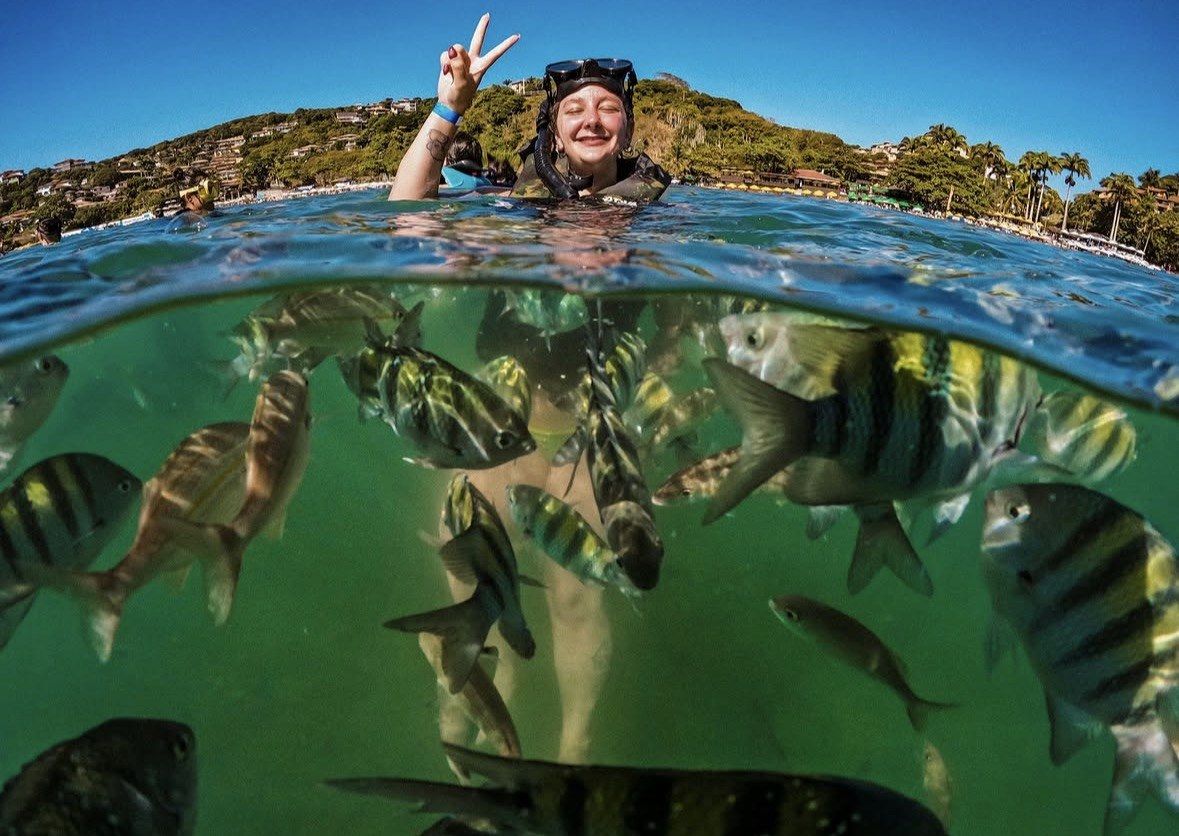
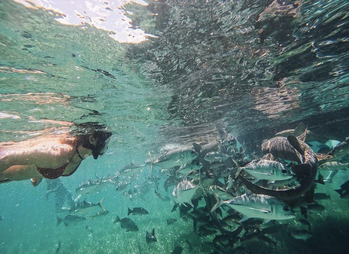
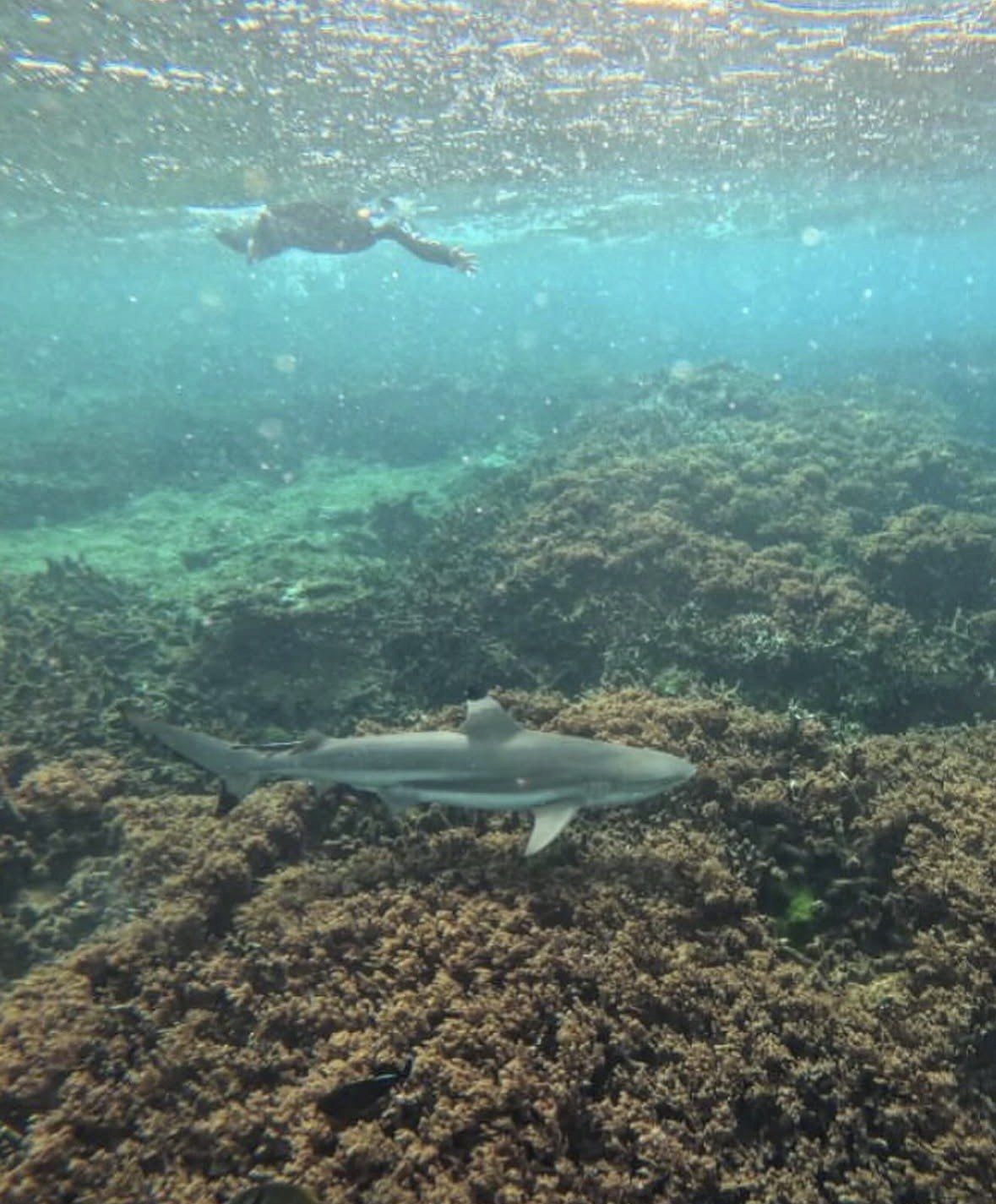
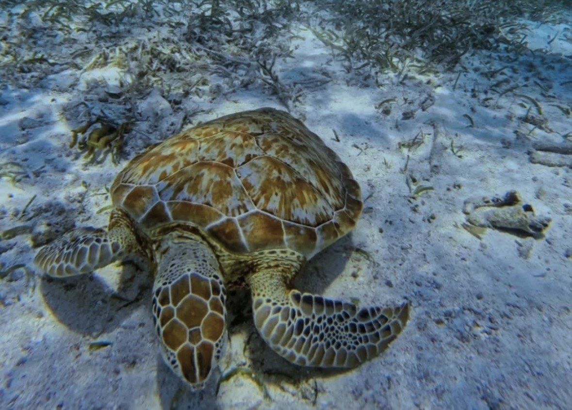
Snorkeling is one of the activities the Fish and Wildlife Service formally lists for Culebra National Wildlife Refuge, and the rules that come with 1909 and 1999 are specific. Any contact harms coral, down to the lightest touch of a hand, foot or fin. The seagrass beds where green turtles feed at Tamarindo and Melones are designated critical habitat, so standing on them or dragging fins through them is prohibited. NOAA viewing guidance asks snorkelers to stay at least 50 yards from sea turtles and does not permit touching, riding or petting them. Boats are asked to tie to mooring buoys rather than anchor and to slow near shore. With one day and no car, the 10-hour ferry trip with guided turtle snorkeling and Flamenco Beach, from $146, handles the crossing, the gear and the island transport for you.